


Hiking in Sweden on Skåneladen SL4, Stage 2: Hammar to Kåseberga
Sweden has always captivated our hearts, and the allure of its landscapes drew us to embark on Stage 2 of SL4 (Skåneleden 4) from Hammar to Kåseberga. This hike promised a hillier terrain than we were accustomed to in Denmark, and while the hills gave us a good workout, they also offered quite picturesque views
We have previously hiked along Skåneladen trails and we have a dedicated blog post about hiking in Sweden. You can find the blog post here.

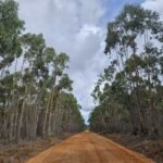
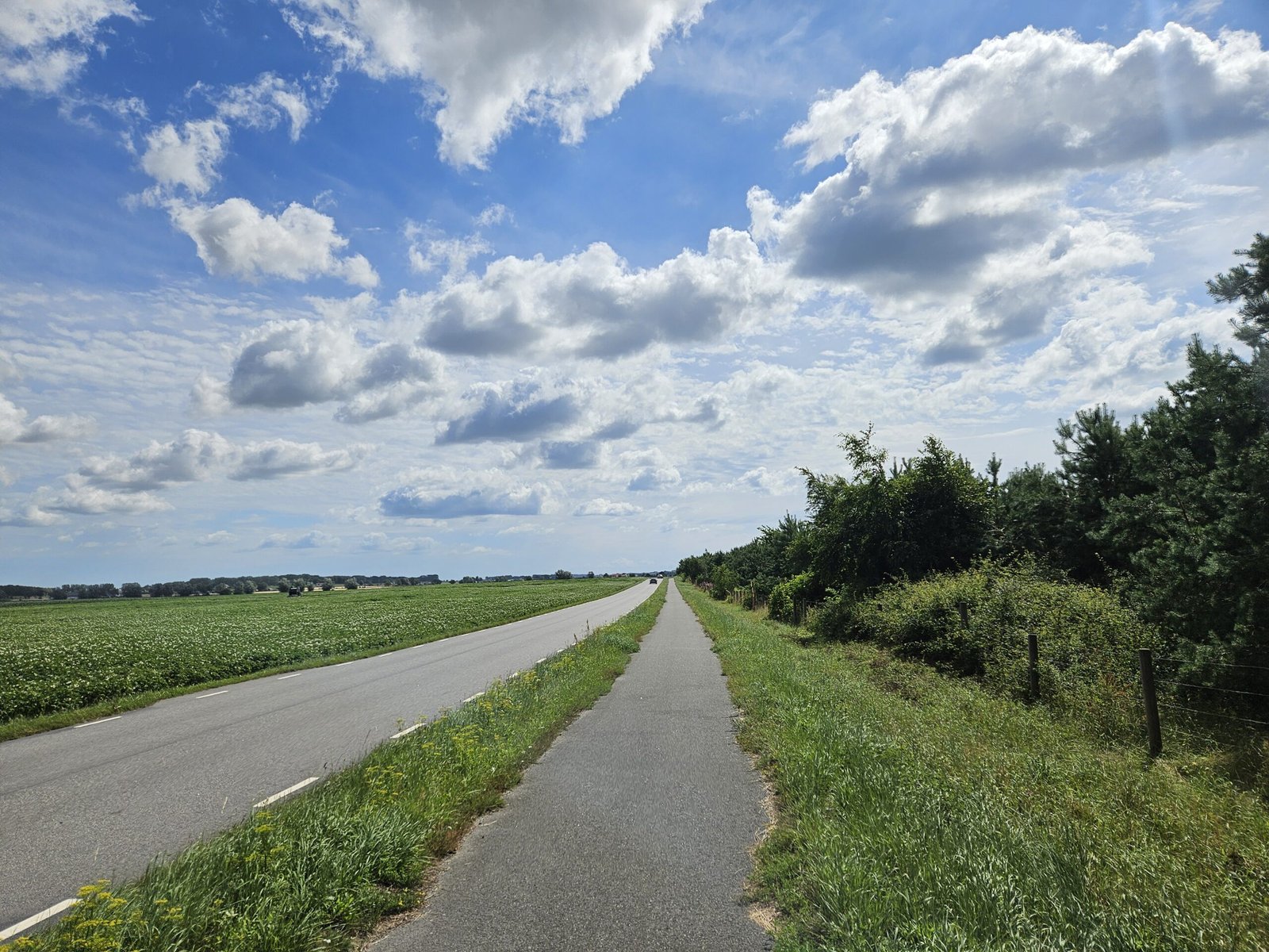
Walking on the asphalt road along the fast driving cars to Hammar
Journey to Hammar
Our day began with a 1.5-hour drive from Copenhagen to a parking lot just before the village Hammar. Hammar is a quaint little village with a few houses along the main road. Stage 2 of Skåneladen is an 18 km stretch from Nybrostrand to Löderups Strandbad, but we opted for a shorter hike as we had to return back to our car eventually. We also intentionally skipped the stop at Nybrostrand in order to avoid the asphalt roads in favor of the gravel and coastal paths we had come to explore.
The Asphalt Challenge
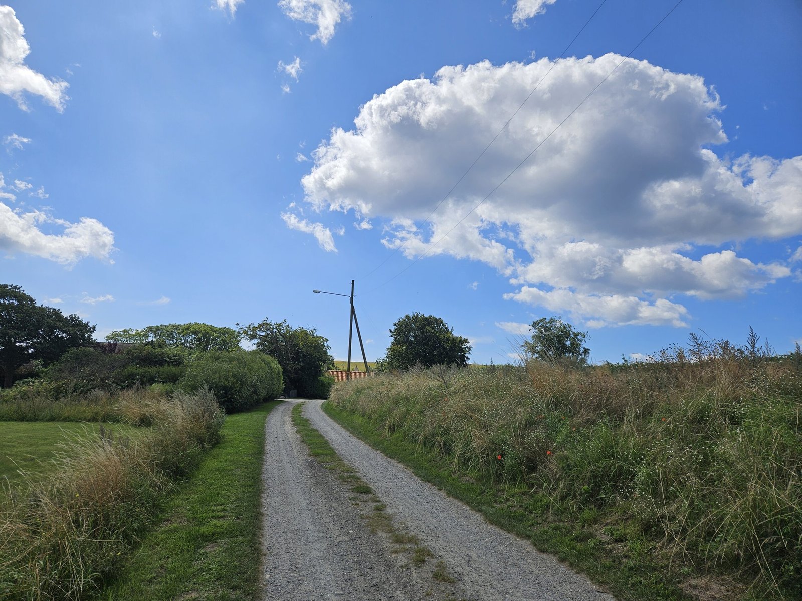
Despite our best efforts to avoid asphalt, our hike began on such a road. Fortunately, the traffic was light, but the cars that did pass moved quickly. Initially, we walked on a path for cyclists, providing a sense of safety and comfort. However, this path soon ended, and we found ourselves walking directly on the road next to the fast driving cars. The lack of visibility around a certain turn before Hammar was particularly unnerving, making us wish SL4 planners had considered a safer route.

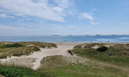
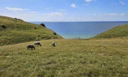
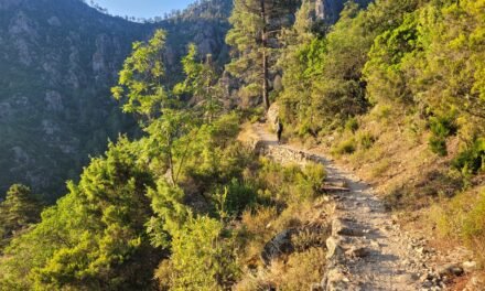
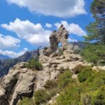
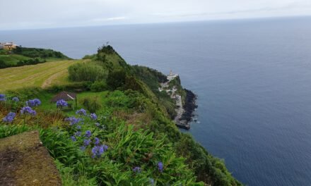
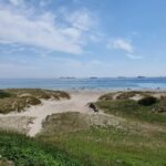
Rolling hills and Coastal views
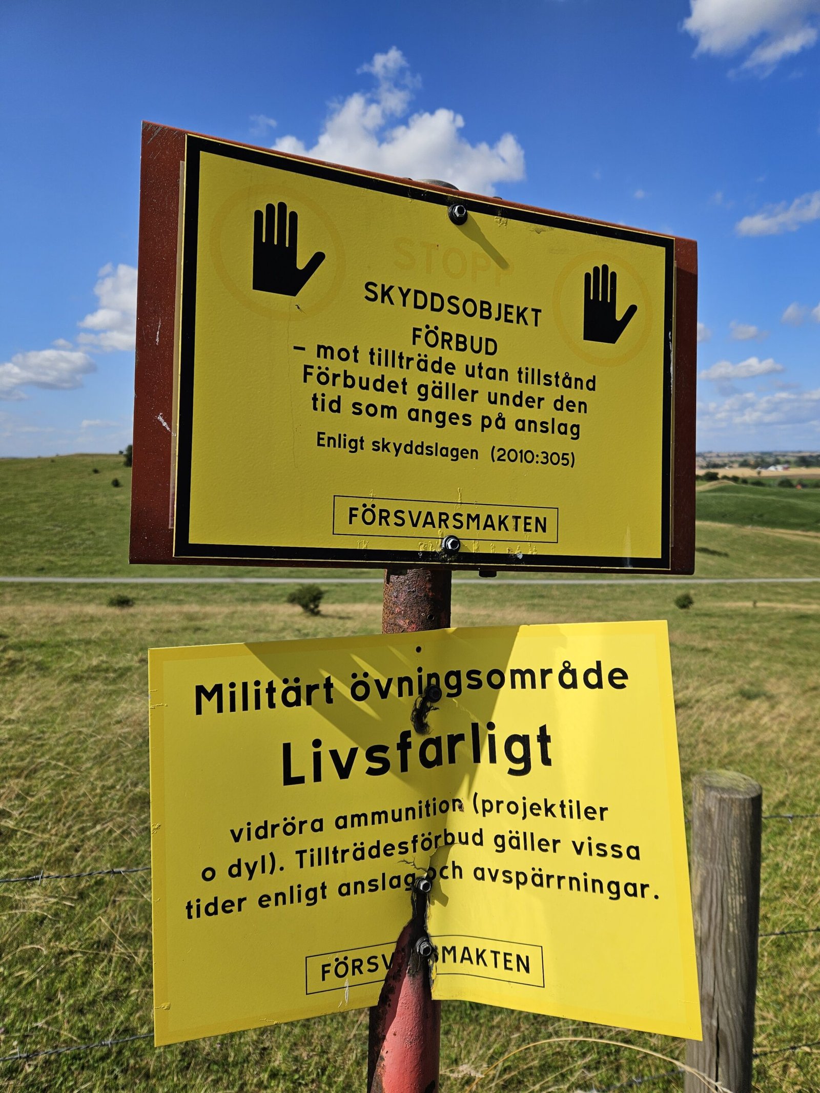
Local Delights and Military Warnings
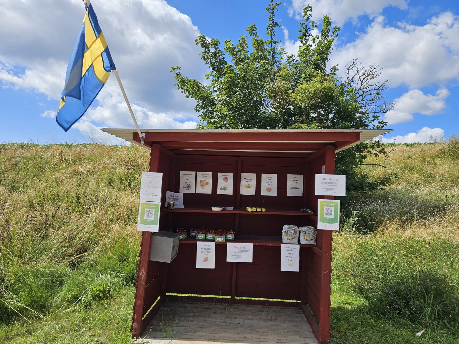
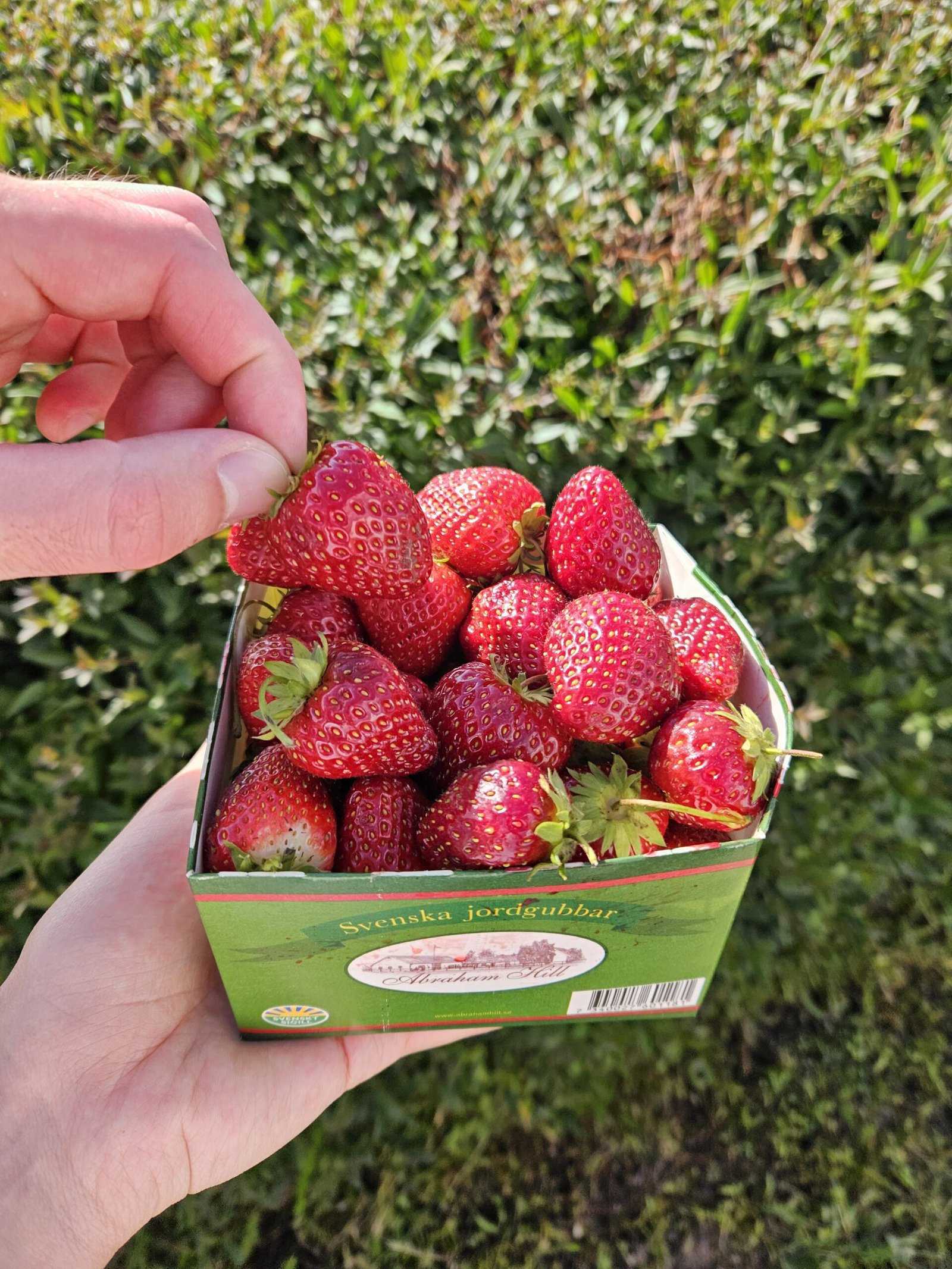
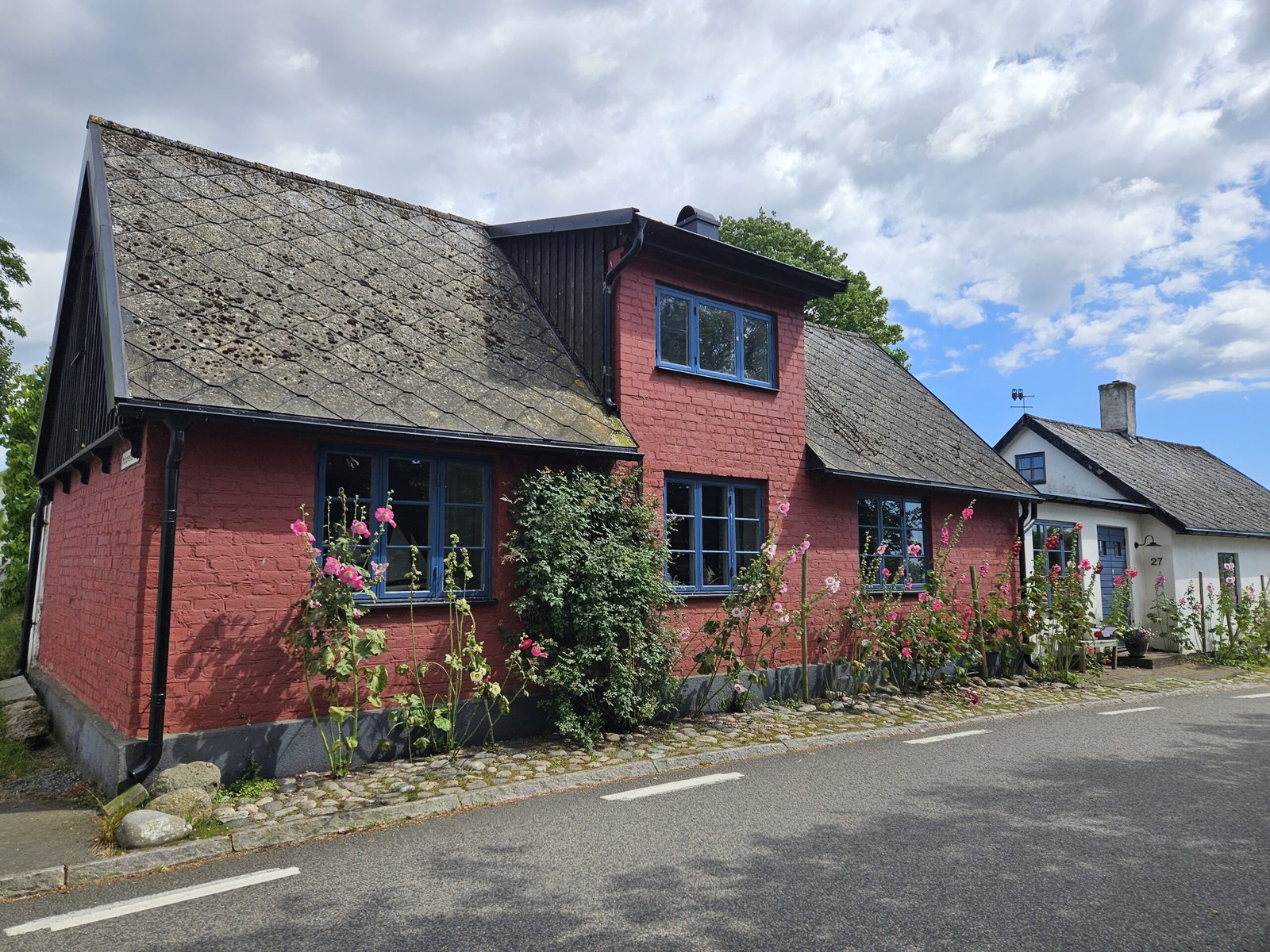
As we passed through Hammar, we encountered a delightful stand selling local strawberries, blueberries, potatoes and other sorts of veggies. Operated on an honour system, payment could be made via SWISH, a Swedish mobile payment app, or by inserting cash into a box. Though we were tempted to get some strawberries already at this time, we decided to buy some on our return.
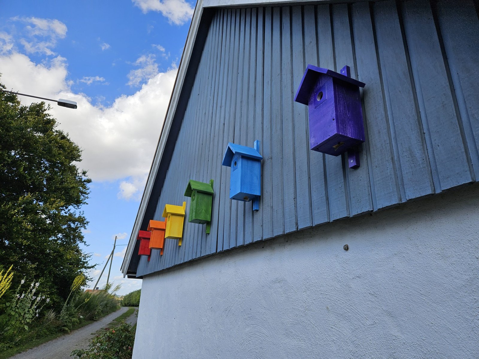
Continuing on a gravel road towards the coastline, we walked past charming houses in Hammar, including one creatively adorned with rainbow-colored birdhouses. Signs warned us that we were near a military area, but the tall grass and narrow path ahead seemed more inviting.
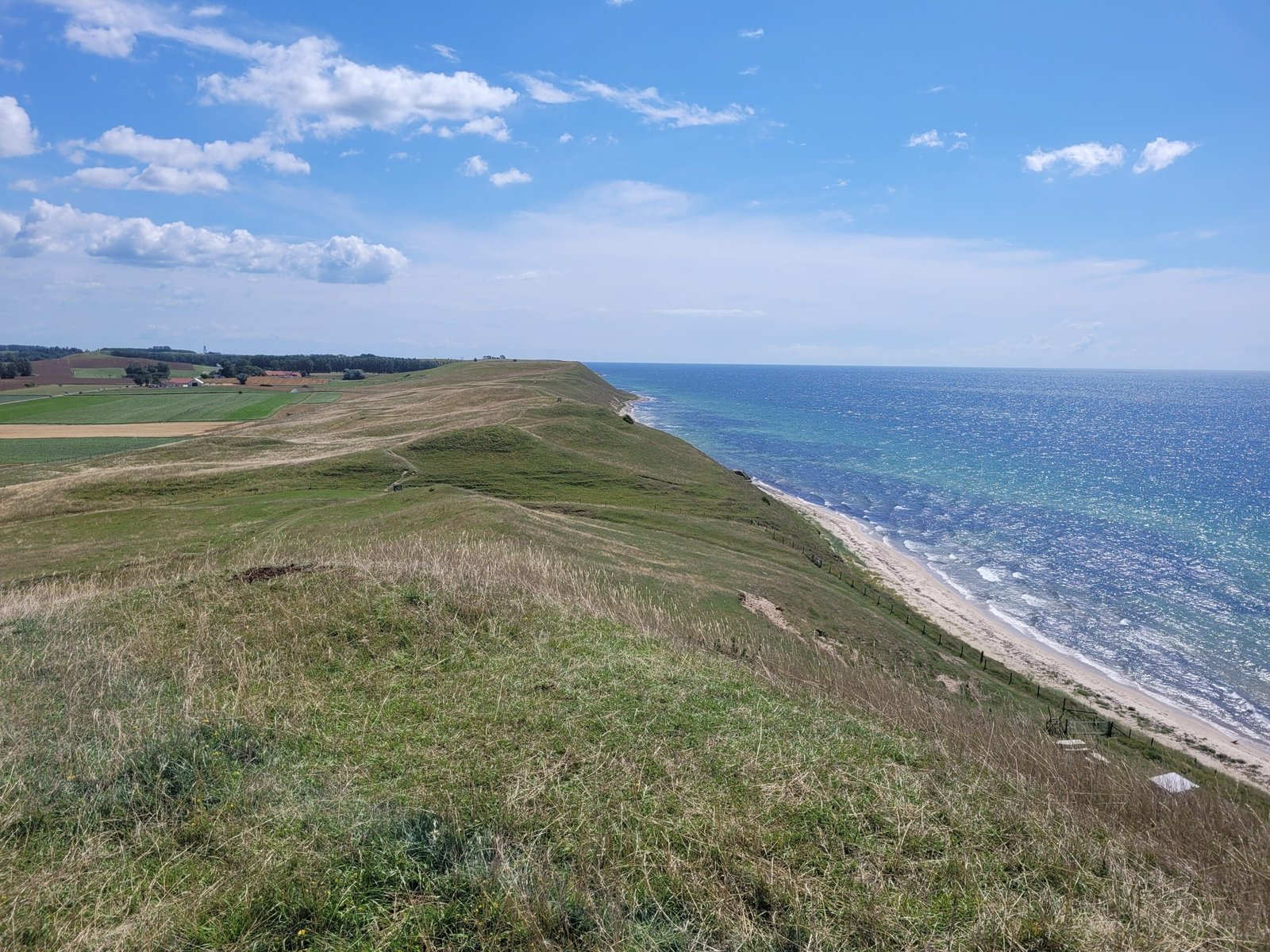
Coastal Views and Rolling Hills
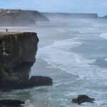
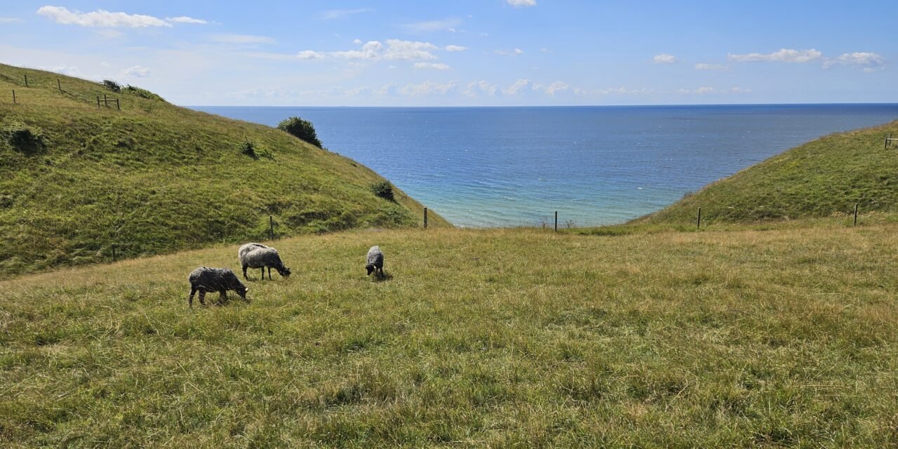
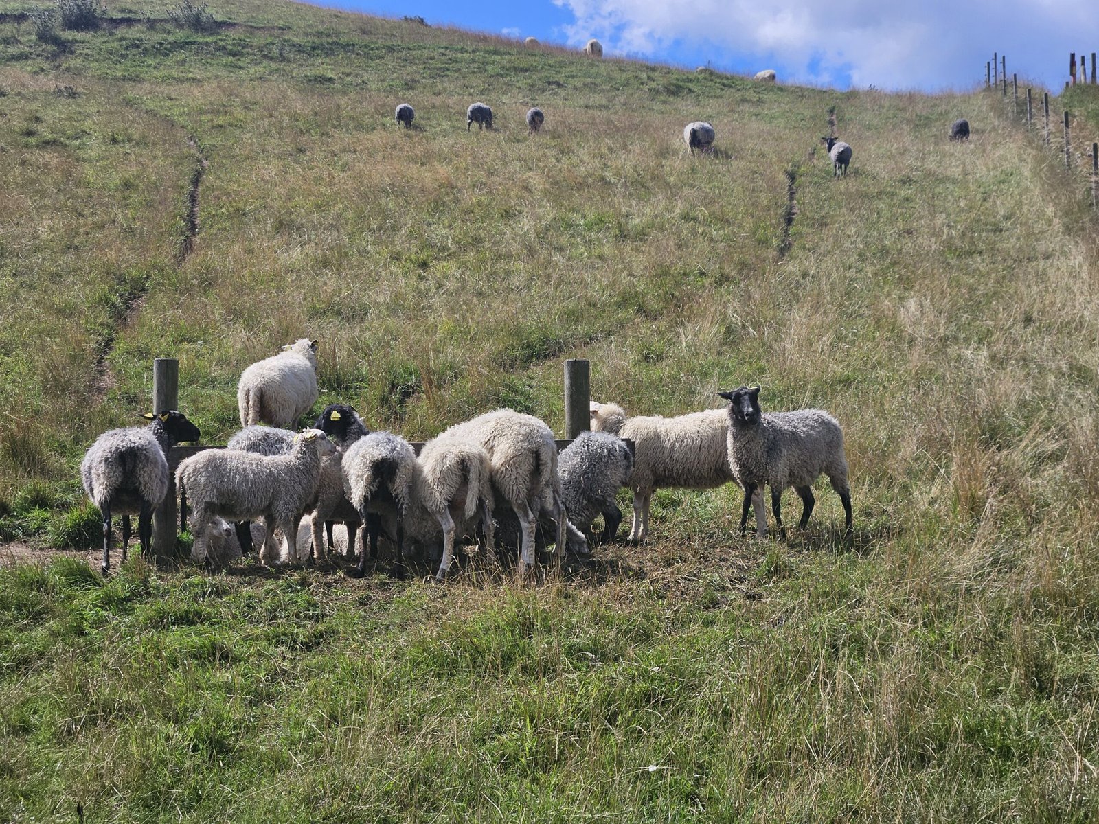
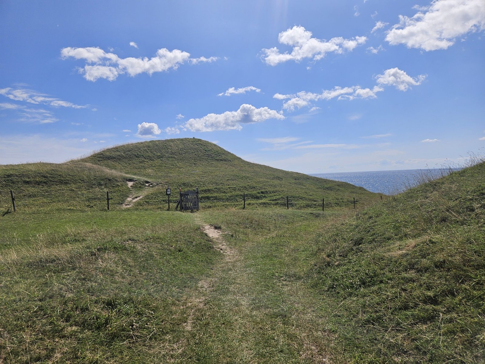
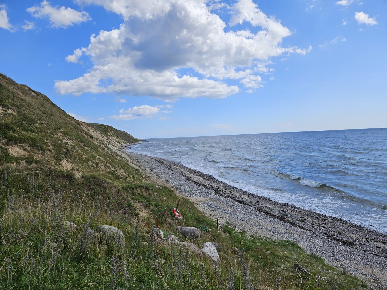
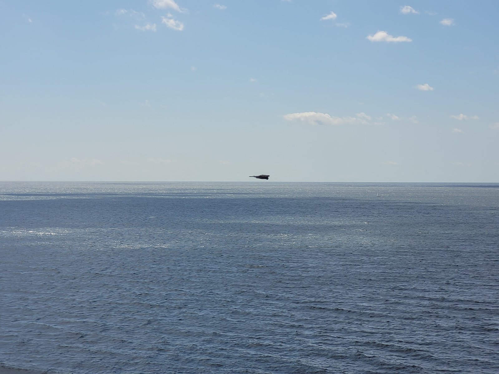
We were relieved to find ourselves on a narrow path flanked by fences, with a military area to our right and a field with many white sheep to our left. After snapping some photos of the cute animals, we climbed a hill and were finally greeted by the sea. The day was sunny with a few white clouds and a gentle breeze, perfect for hiking.
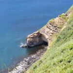
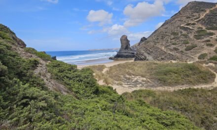
As we followed the SL4 orange markings, we passed by several gates, each opening up more breathtaking views. The path, although mostly grassy, was easy to follow thanks to the trail markings. The rolling hills became more frequent, but the stunning coastal scenery made every climb worth it. The beach, a mix of sand and rocks, looked inviting for a potential beach day. However, we were there only for the views.
Lunch with a View
Around 1 pm, hunger set in, and we found a perfect spot between two hills overlooking the water. As we enjoyed our sandwiches, we watched the Bornholm ferries departing from Ystad, not far from our lunch spot. Cozy and warm memories of Bornholm, where we got married in June 2024, flooded our minds.

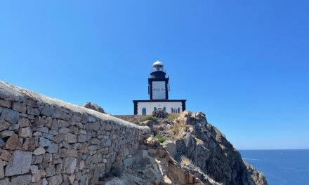
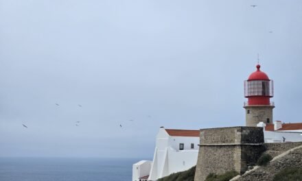
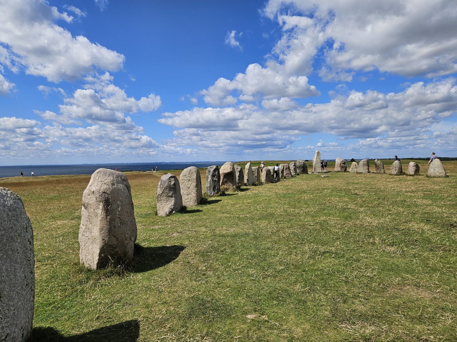
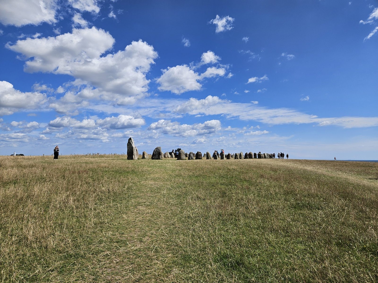
The highlight of the hike: Ales Stenar
Ales Stenar: The Highlight of Our Hike
Refreshed and with full bellies, we continued our hike, opening and closing gates, and ascending and descending hills. Our first major highlight was Ales Stenar (Ale’s stones), a 1400-year-old monument resembling a ship’s foundation made of 59 large stones. The site was bustling with tourists, locals and families and children, who playing hide and seek among the stones. We even spotted a small falcon hovering in a hunting position, a mesmerizing sight.
There are two differing views on the purpose and origin of Ale’s stones. Some believe it is a shipwreck from the Late Bronze Age or Late Iron Age, likely serving as a burial ground. Conversely, some outside the scientific community argue it is a Bronze Age solar calendar and sundial, aligned with the solstices. It is said that the individual stones of Ale’s stones align precisely with the sun’s rising and setting over 30-day intervals when viewed from the center, telling the time.
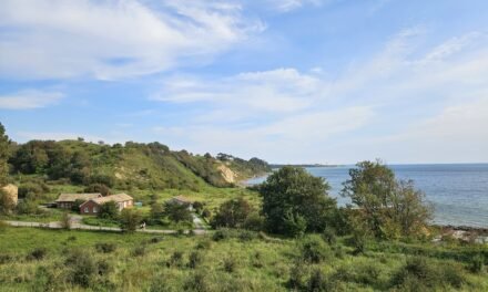
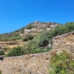
Discovering Kåseberga
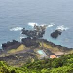
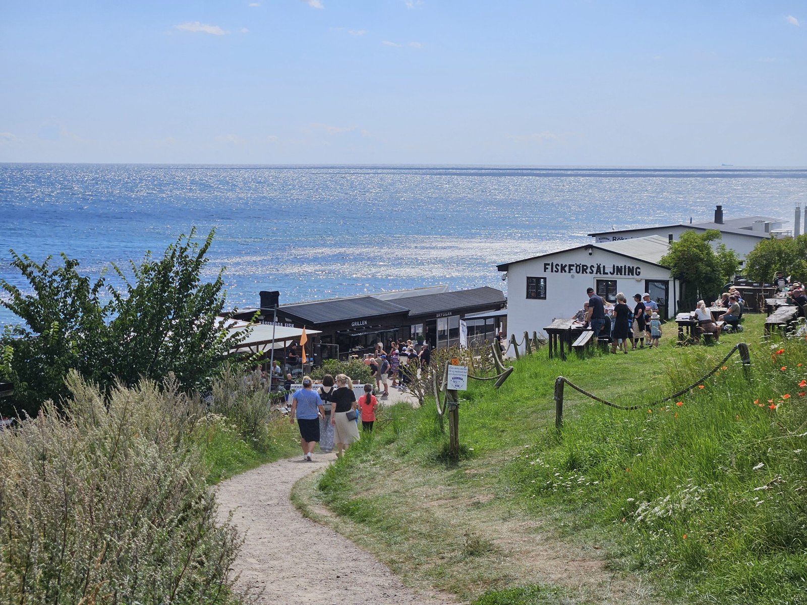
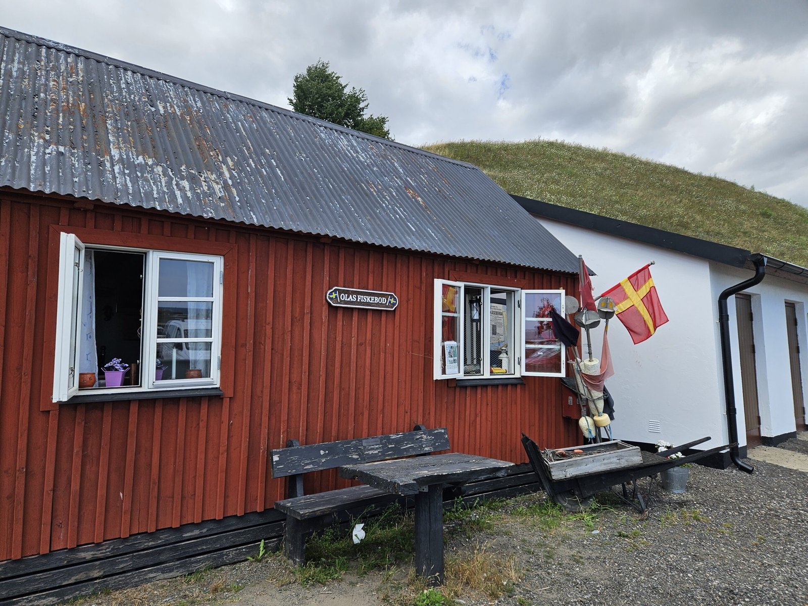
Descending towards Kåseberga, we followed the SL4 markings through a throng of tourists. The circular harbour of Kåseberga, filled with boats, came into view, and we were surprised by the number of cafes and restaurants bustling with people. We were already tempted by the ice cream, but we decided to explore the village first. Kåseberga was quiet as most people were at the harbour. The village turned out to be also very cozy and with colourful Swedish houses adorned with flowers.
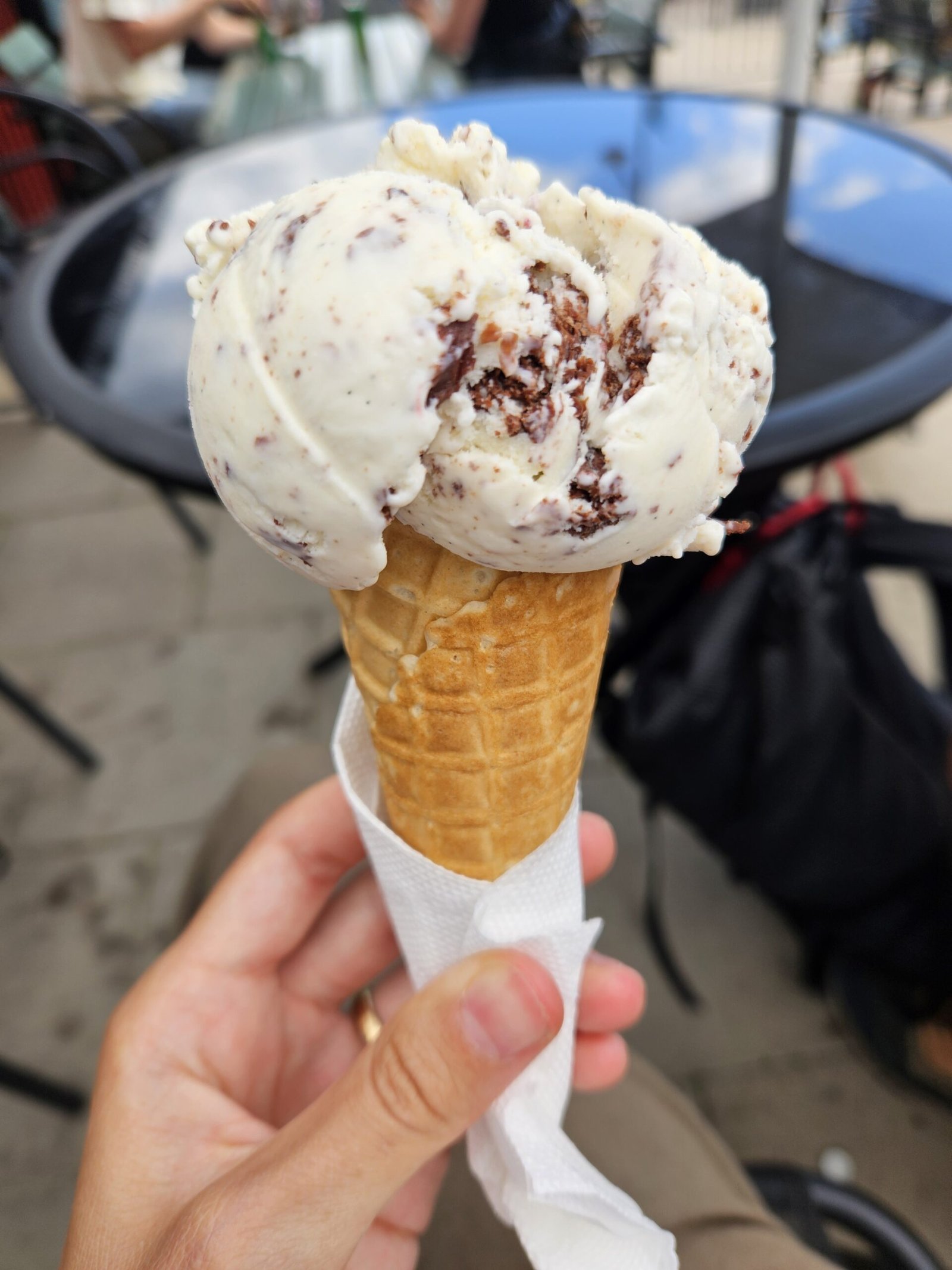
ice Cream Break
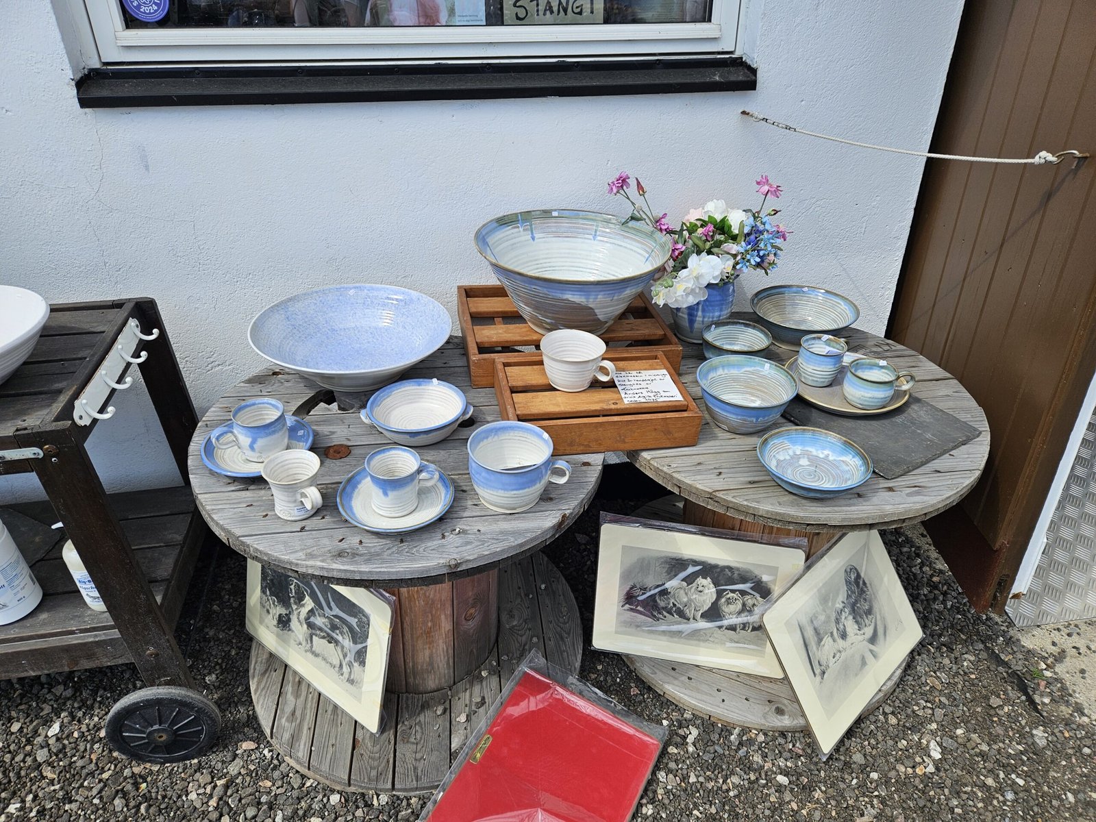
We returned then eagerly to the harbour for a well-deserved ice cream, enjoying two scoops in a waffle cone. The nearby shops offered unique ceramics, souvenirs, and clothes, probably made by the locals, and were adding to the charm of the place. The harbour was also a hub for motorcyclists, with more motor bikes than we could count.
The Return Journey
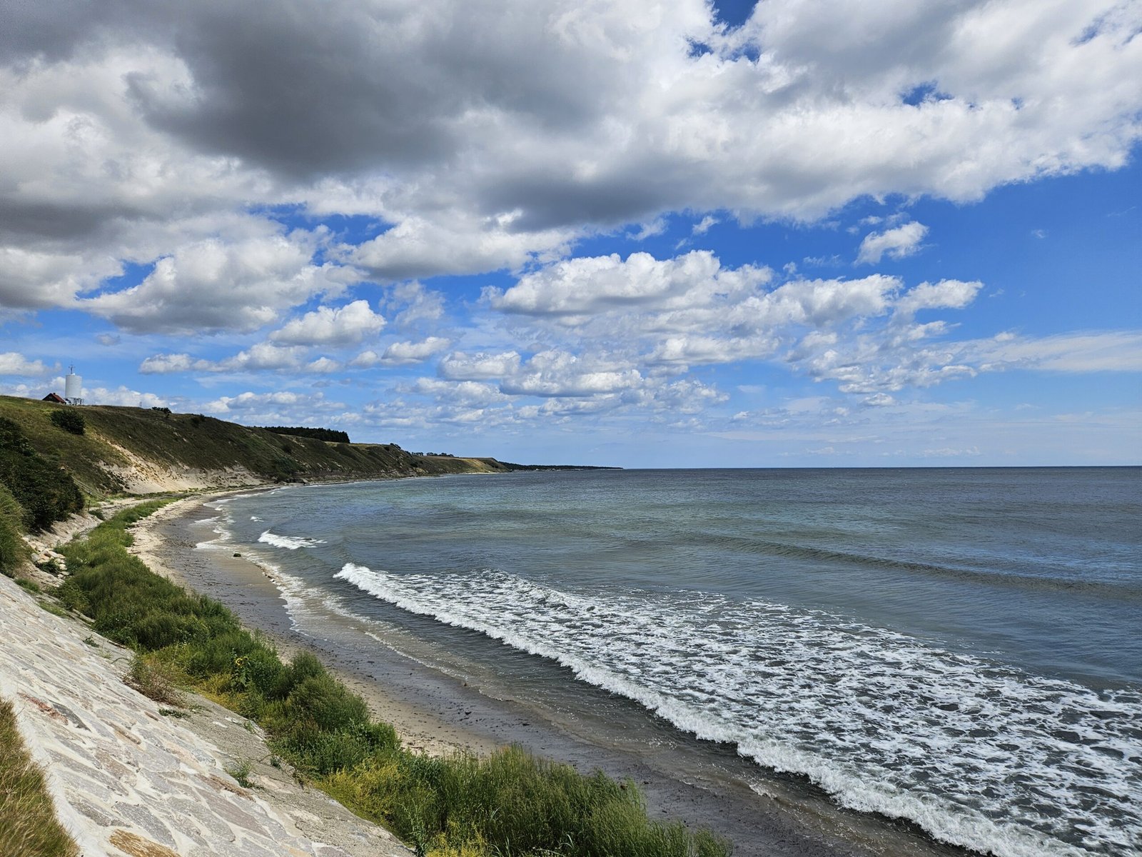
As we headed back, we again enjoyed the beautiful coastal views and towards the end of this section contemplated the route through the military area but decided against it, preferring the known path despite the asphalt. On our way, we bought the strawberries we had eyed earlier. They were delicious, juicy, and a perfect end to our hike.
Navigating the final stretch on the cyclists’ road, we safely returned to our parking spot. We had completed a 15 km hike in about 4 hours, thoroughly enjoying the coastal beauty despite the asphalt sections.

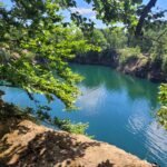
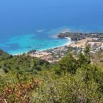
The perfect circular shape of the harbour at Kåseberga
Our drive back to Copenhagen was filled with reflections on the day’s adventure. We enjoyed a lovely dinner, savouring the strawberries from Hammar. This hike on SL4 Stage 2 was a delightful mix of scenic landscapes, historical sites, and local flavours, leaving us eager to explore more sections of SL4 in the future, hopefully with fewer asphalt encounters.
Start
Parking near Hammar
End
Parking near Hamar
Duration
4 hours
Length
15 km
Difficulty
Intermediate


0 Comments