


From Mountain Peaks to Coastal Cliffs: An Epic Hiking in Mallorca on the Archduke’s Trail
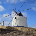
Day 5 of our hiking in Mallorca adventure began with the alarm ringing at 7 AM. Determined to start early and beat the heat, we quickly had breakfast and set off on the one-hour drive to Valdemossa. We parked in the town center, paying 5€ for the day. After a quick stop to buy bagels, guacamole, cucumbers, and cheese for lunch, we headed to the starting point of our hike on the Archduke’s Trail.
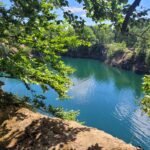
The Archduke’s Trail in Mallorca is a historic hiking route famous for breathtaking panoramic views of the island’s rugged coastline and mountains. Created by Archduke Ludwig Salvator of Austria in the late 19th century, the trail features a mix of well-marked stone paths and scenic viewpoints, including the notable Mirador de Ses Puntes and Puig Gros. The trail passes by the Refugi de s’Arxiduc and traditional lime kilns along the way. And what really attracted us about this hike was the expectations of seeing vultures much closely.

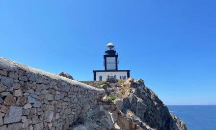
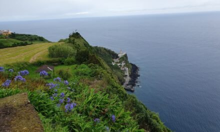
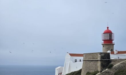
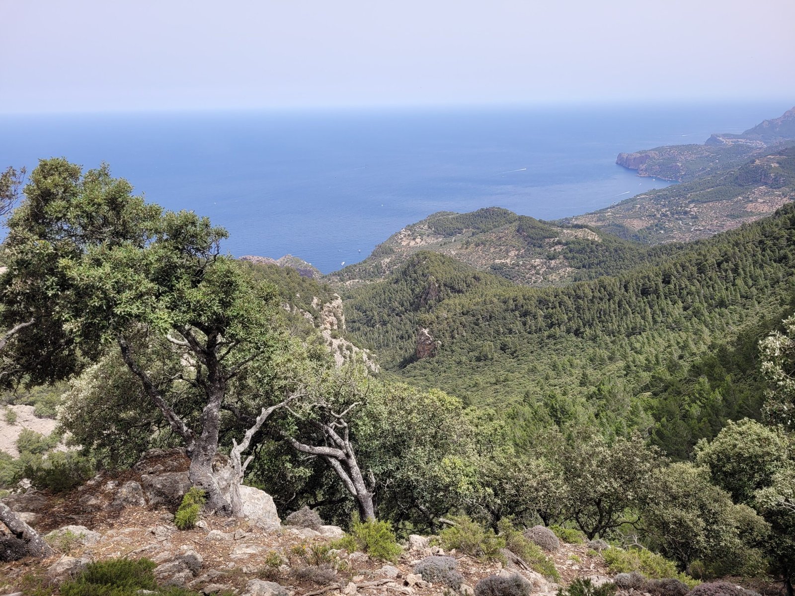
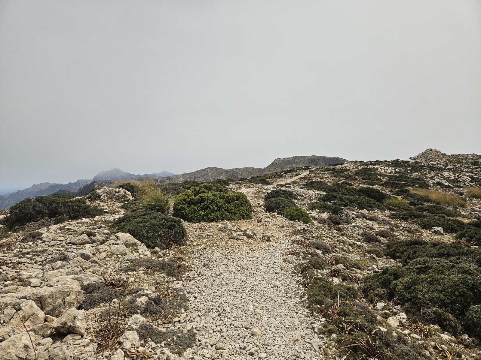
The initial stretch of the Archduke’s trail along zigzagging path led us to Mirador de ses Puntes
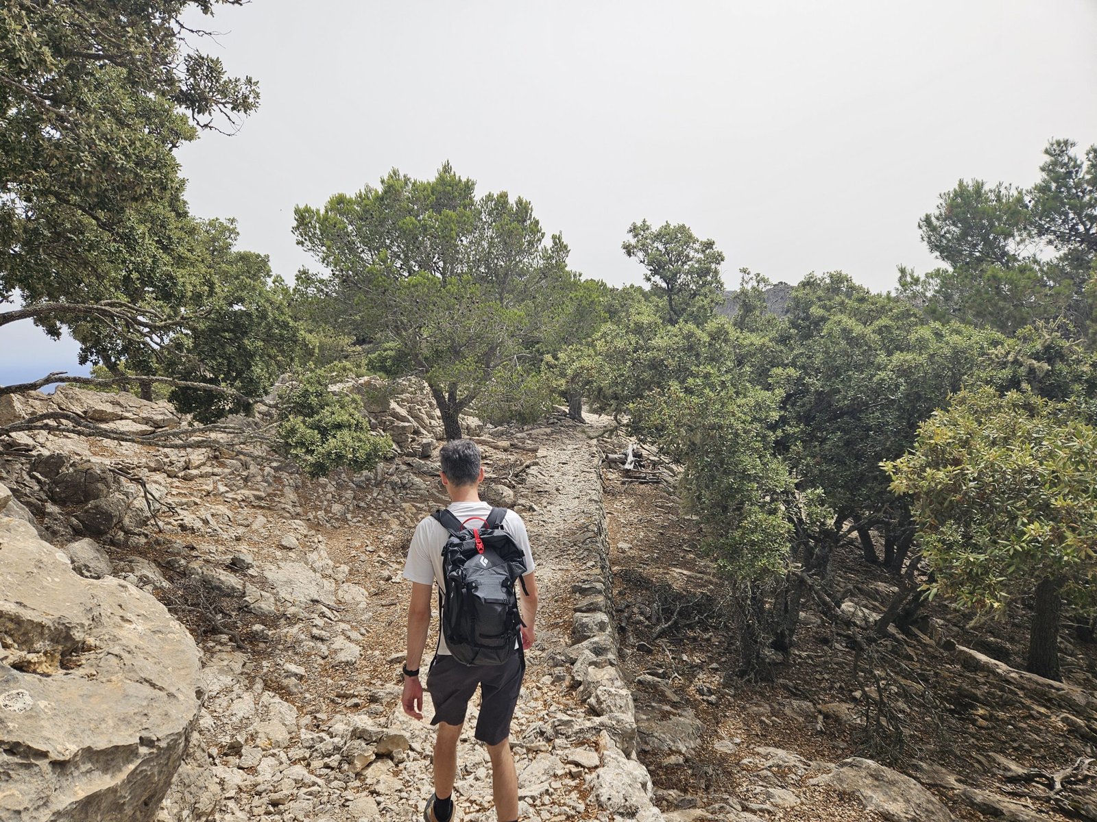
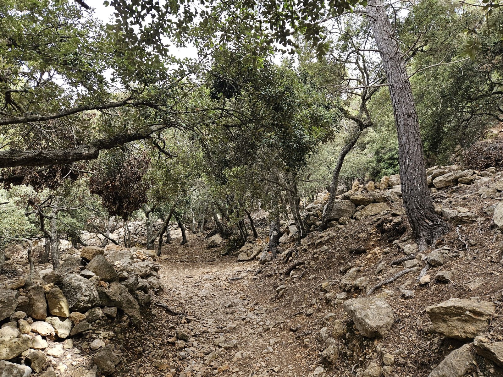
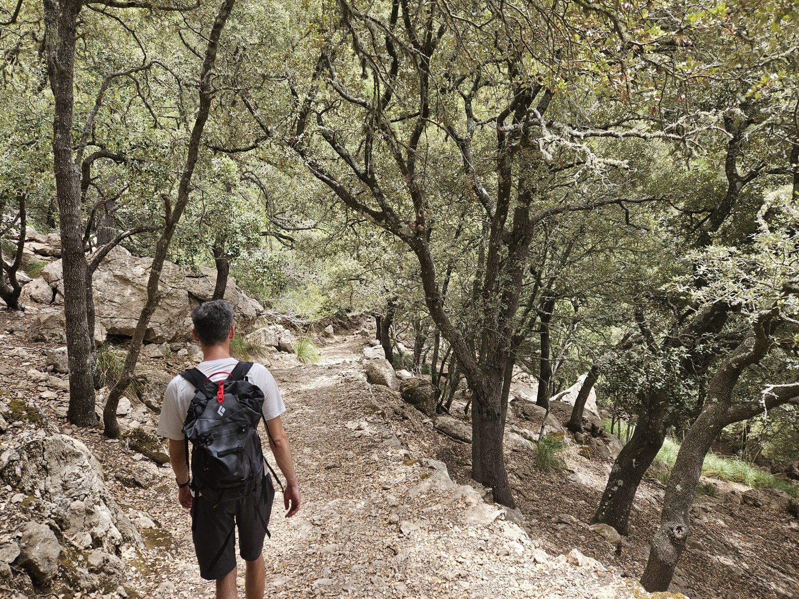
Entering the Muntanya del Voltor
Having applied for and received our permit via WhatsApp to access the Muntanya del Voltor (Mountain of the Vultures), we were ready to start our hike. A guard at the gate checked our names against the list, which had only three other names before us. For those without permits or if permits exceed the daily limit, an alternative free access path is available, which starts just right next to the access point. Following the guard’s advice, we started our hike clockwise, as this direction offers a clearer path.
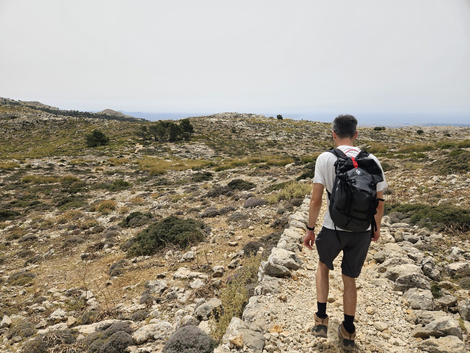
The Ascend to Mirador de Ses Puntes
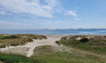
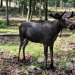
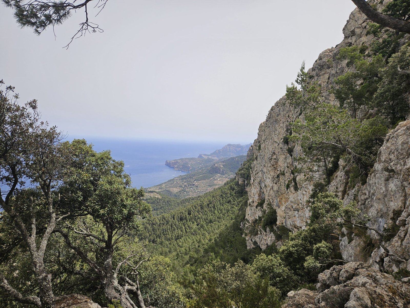
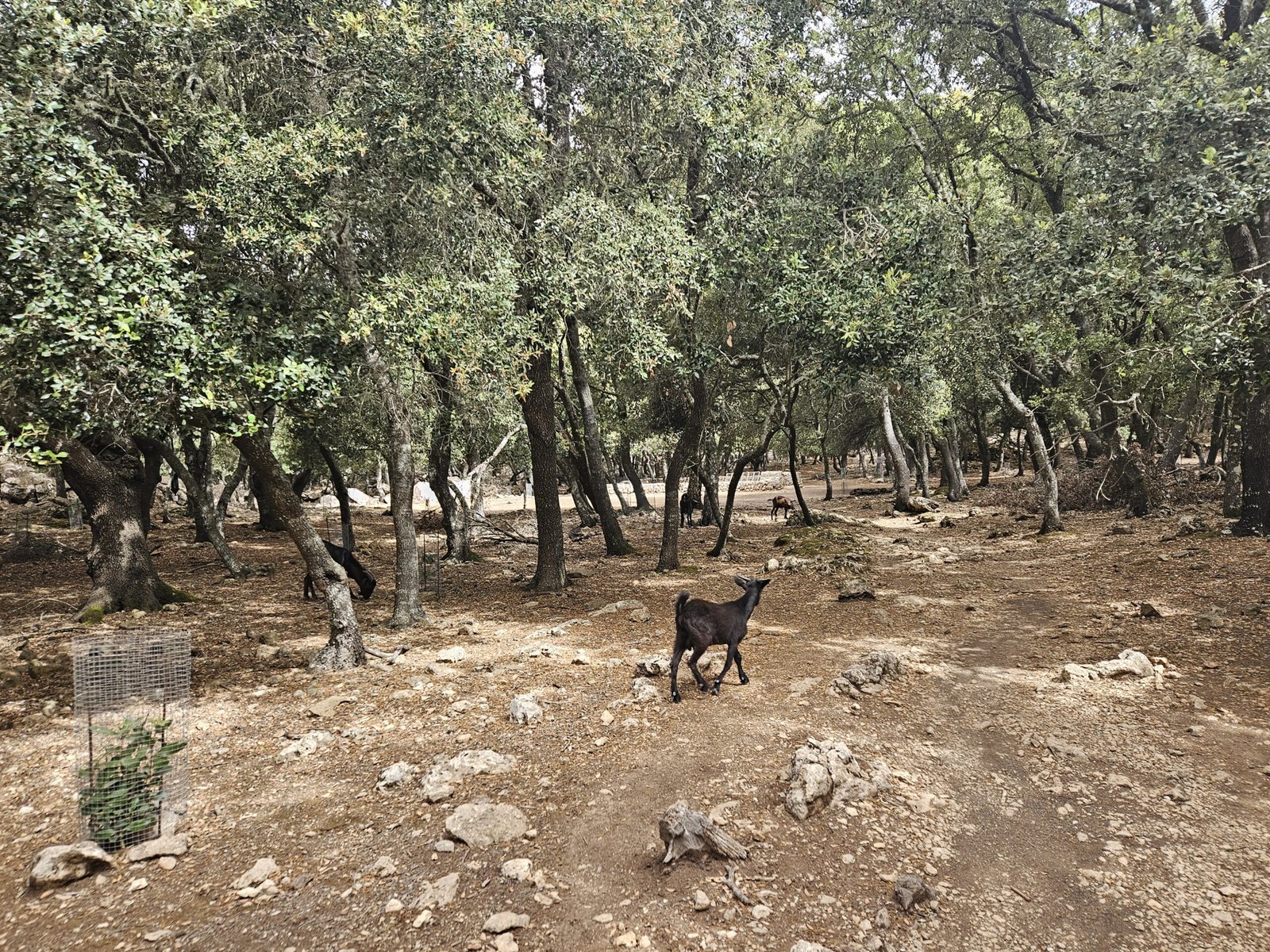
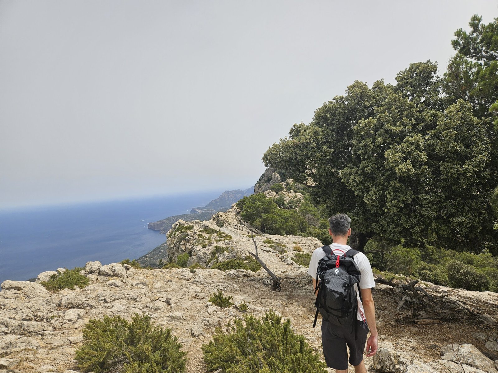
The initial climb was a zigzagging path made of stones and rocks, well-marked and easy to follow. As we ascended, we occasionally spotted goats and enjoyed the shade provided by the trees. Despite the 30 °C temperature, the cloudy sky kept us relatively cool. The first highlight was the Mirador de Ses Puntes, where the Archduke built an amazing stone balcony over the coast. The name of Ses Puntes comes from the battlements that, like a medieval fortification, surround its perimeter and offer spectacular views of the port of Valdemossa and the surrounding coastline and mountains.

A coastal path: The most beautiful section of the Archduke’s Trail
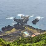
Reaching Sa Talaia Vella
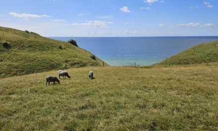
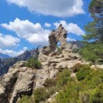
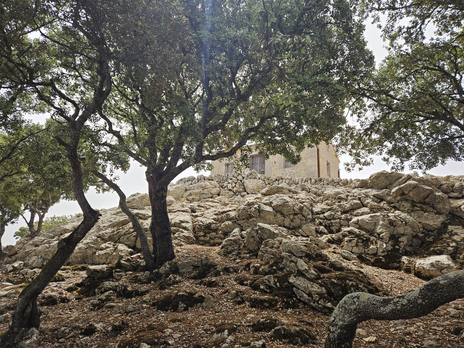
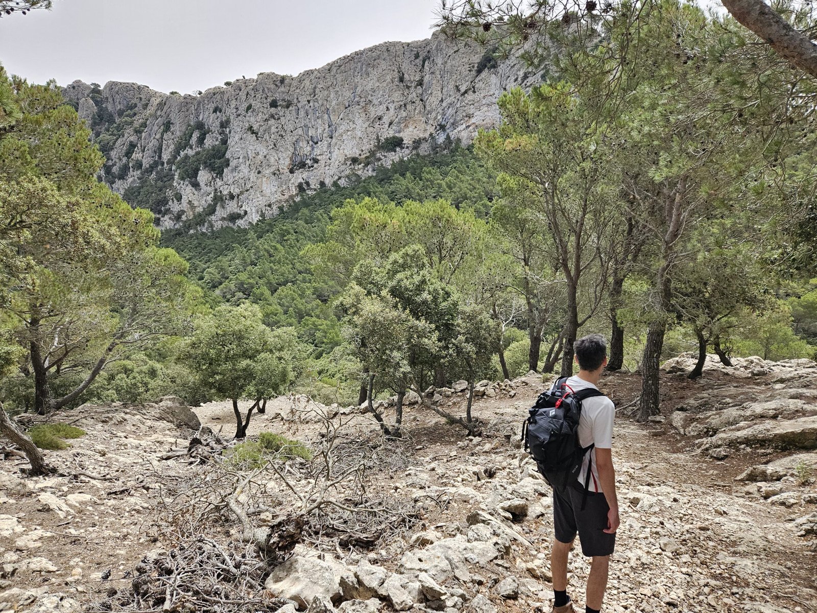
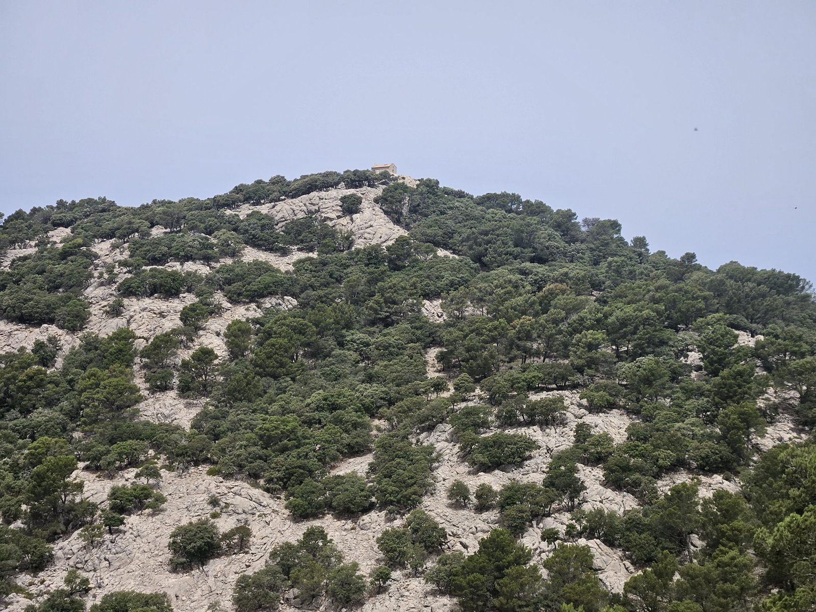
Continuing our climb, we reached another peak, Sa Talaia Vella. Although we didn’t linger long at the summit, the views were impressive. The path then led us to Refugi de s’Arxiduc at 869 meters. We saw a group of women taking the final steps to a small hut perched on the mountain top, providing another breathtaking viewpoint of the coastline and mountains.
Crossing to the Free Access Path
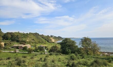
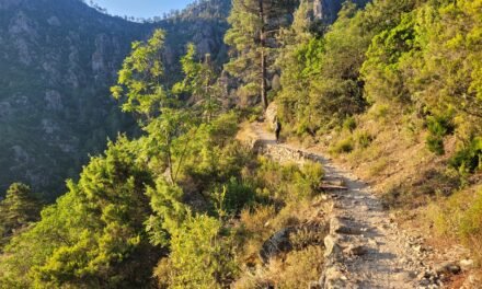
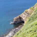
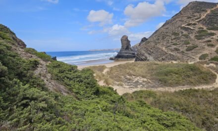
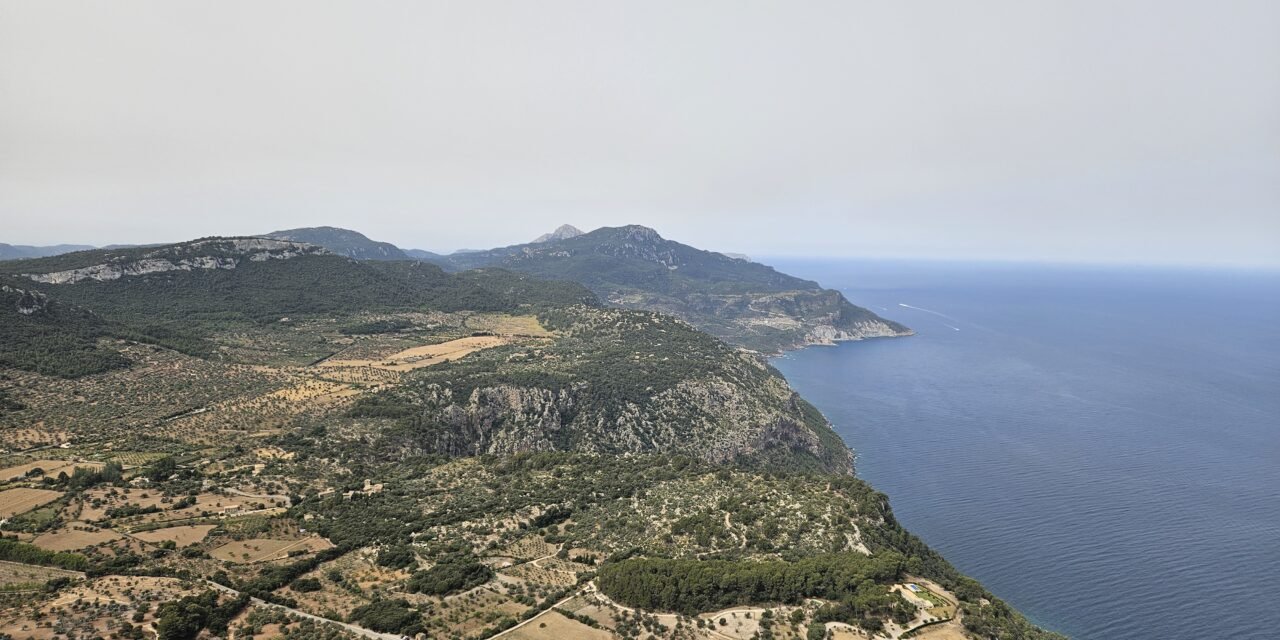
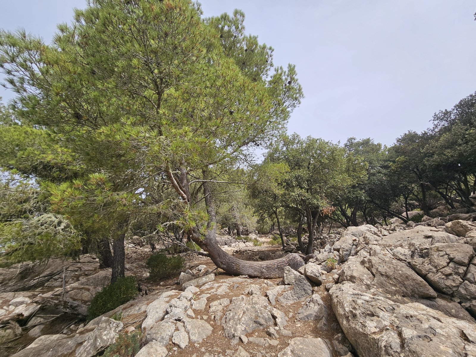
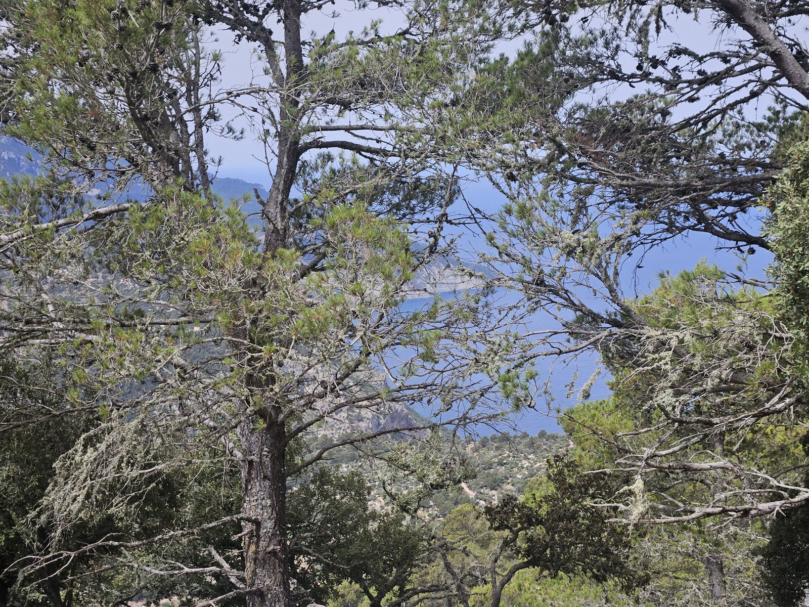
After the Refugi de s’Arxiduc, the trail path was relatively flat and even descending. Exiting the protected area of Muntanya del Voltor, we then climbed through some rock stairs and reached the path, which is generally accessible without permits. From there, we headed towards Es Caragoli peak at 944 meters. Along the way, we saw the Refugi de s’Arxiduc in the distance, a tiny speck on the mountain top. The view near Es Caragoli was unforgettable, displaying the unique rock formations of Punta Prima, Cala Deia, and Port de Soller.
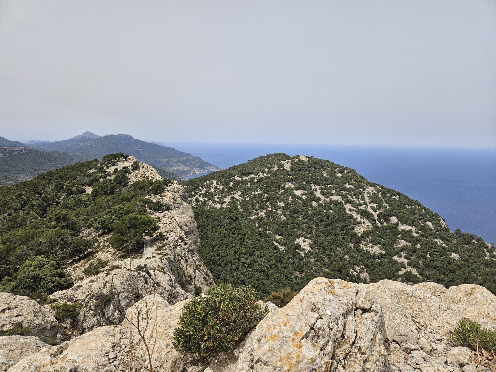

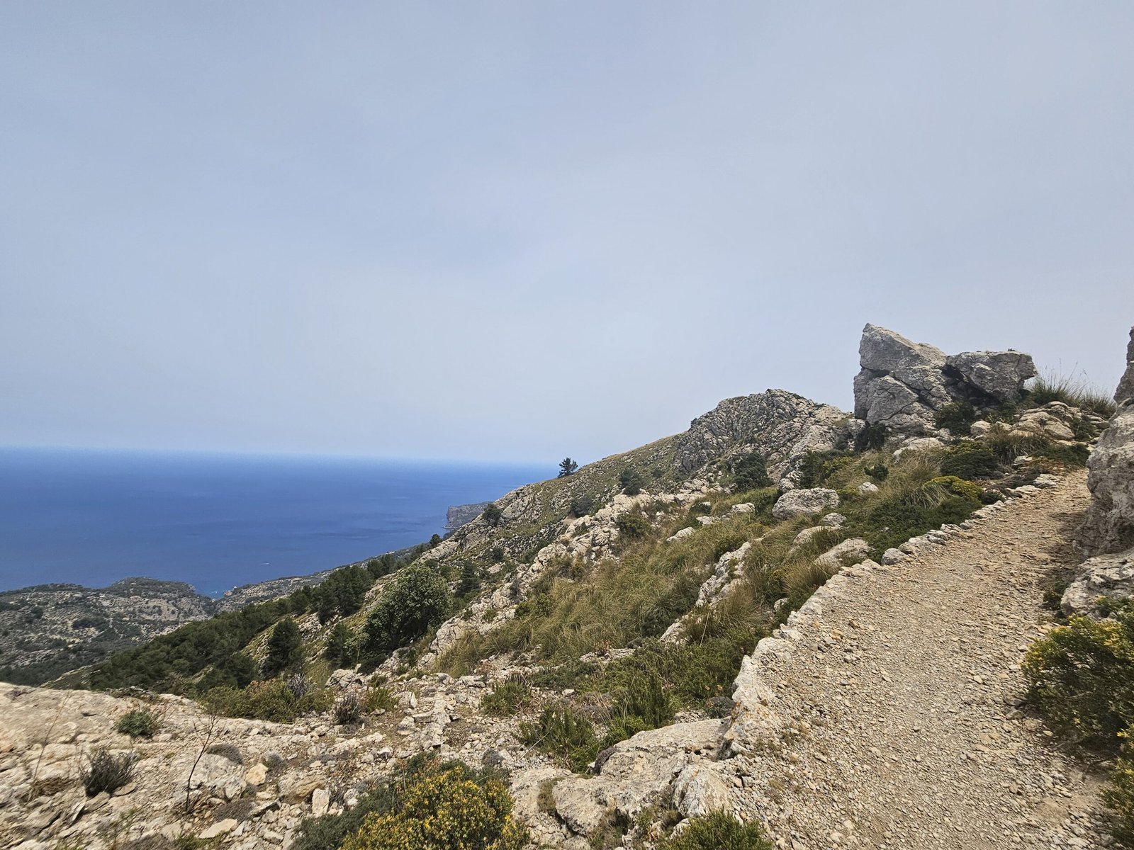

The Scenic Stretch to Puig Gros
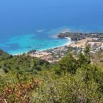
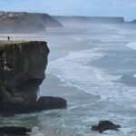
We then continued on the path and encountered one of the most picturesque sections of the trail—the entire coastline, as we walked near the edge of the mountain on a path made of strikingly white rocks. Our next destination was Puig Gros, another peak standing at 938 meters. The winds picked up in that section, forcing me to take off my hat to avoid losing it. With minimal to no shade, we found ourselves walking for about three hours up until this point, eagerly anticipating a lunch break.
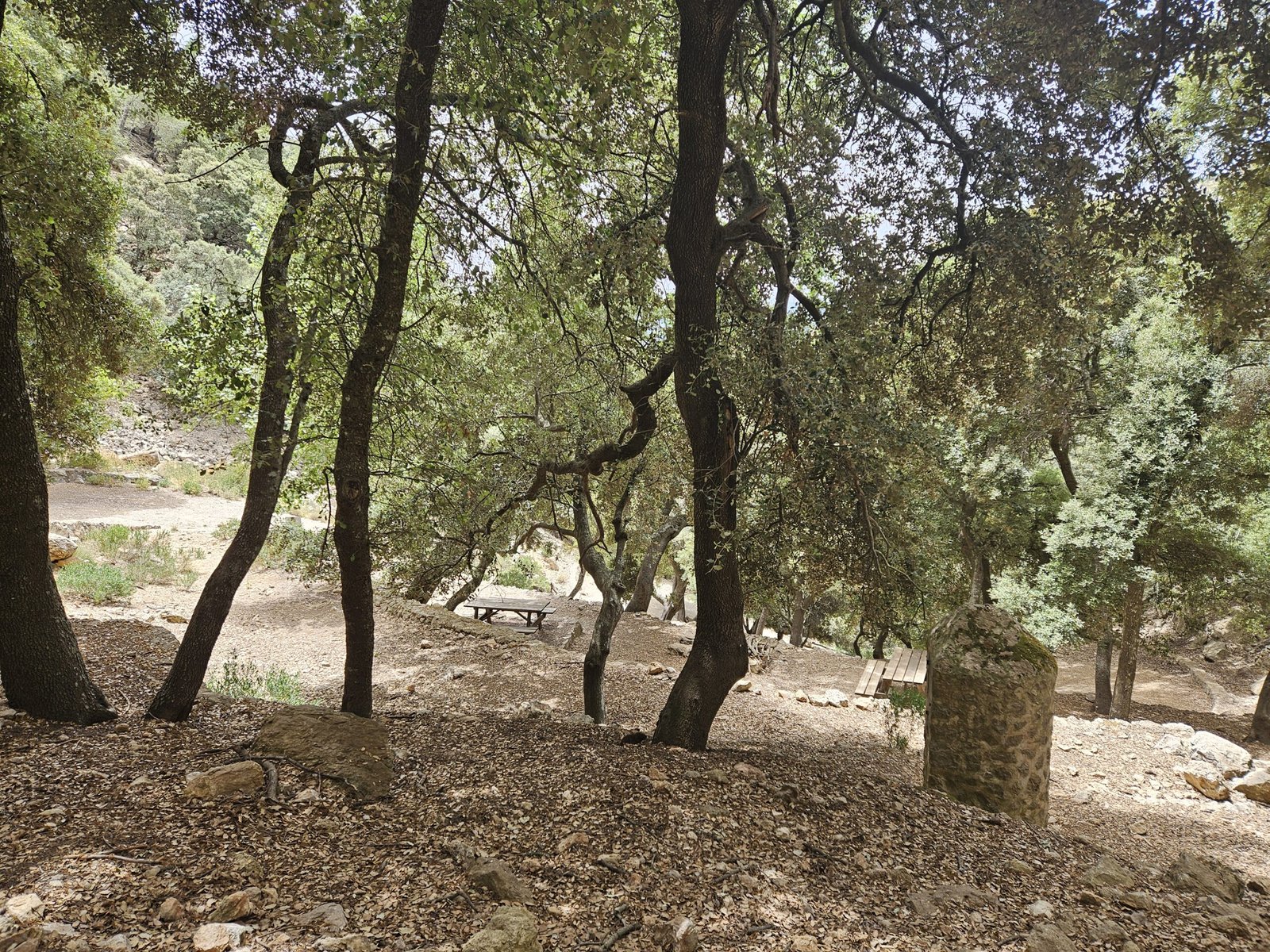
Despite searching for a good spot along the windy mountain edge, we had to keep moving. Eventually, we ascended slightly and enjoyed more of the breathtaking coastline views from a flat section of the trail. In the distance, we spotted a cluster of trees resembling an oasis, which seemed like the perfect lunch spot. After descending a bit and deviating from the edge, we reached the shaded area and found other hikers who had the same idea. Following a refreshing break and a quick lunch, we packed our bags and continued towards our last peak, Puig Gros.
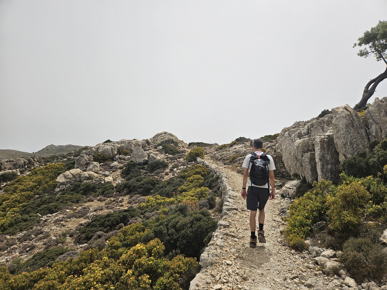
Ascending Puig Gros
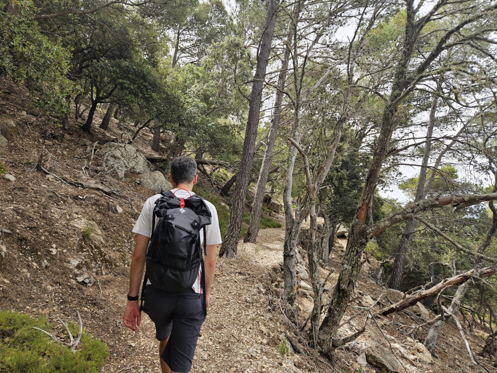
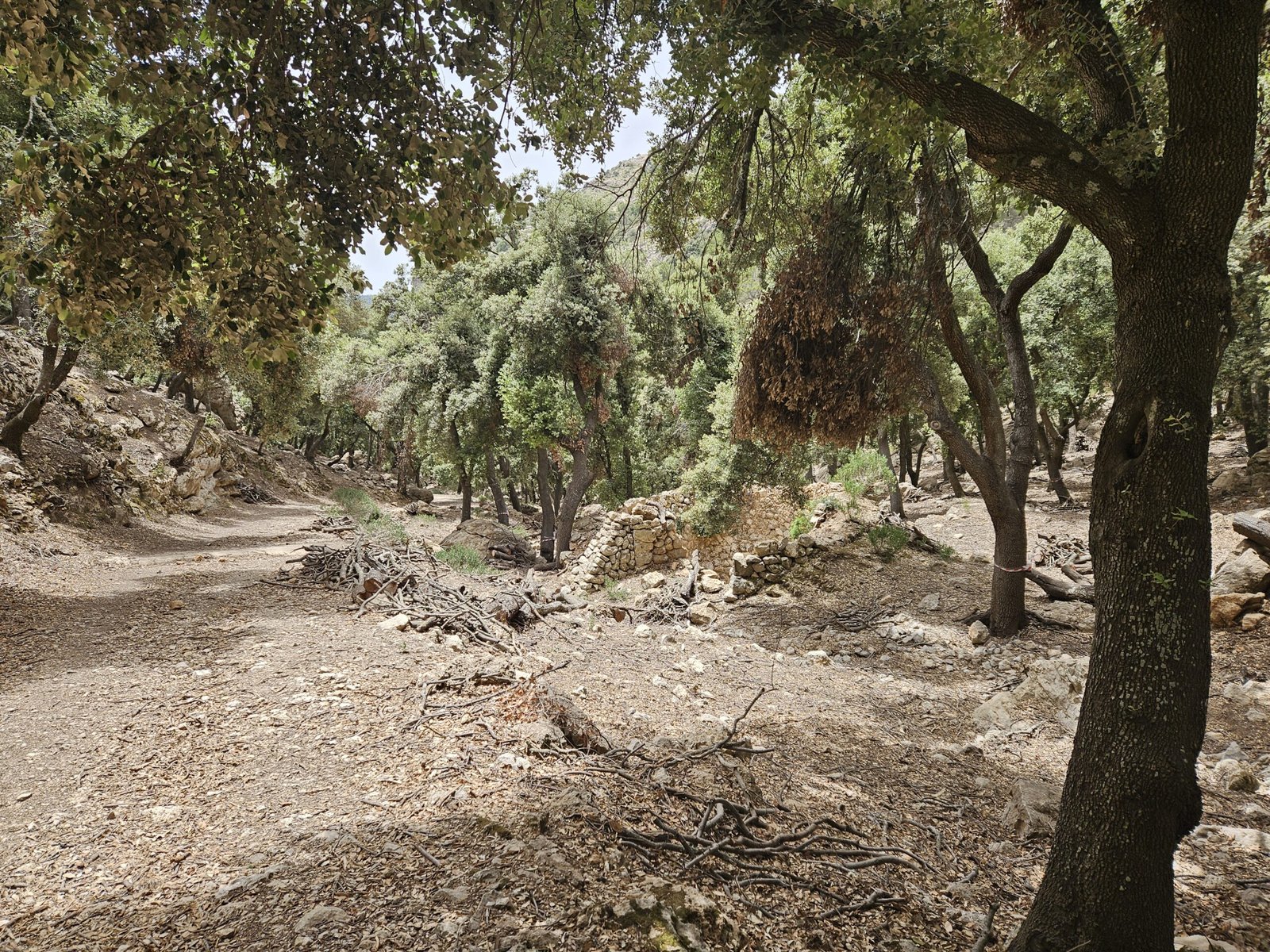
The climb to Puig Gros was not difficult, and the trail soon even flattened out. After a while, the path began a steady descent, requiring careful navigation over the rocky terrain. The winds had calmed, making for a more enjoyable and relaxed hike as we followed the GR221 signs. As we neared Valdemossa, the descent grew steeper and slightly slippery, prompting us to slow down before finally reaching a mostly flat section leading back to the town. Following the GR221 signs, we made our way down, passing by the wood colliers workshop and lime kilns, remnants of traditional Mallorcan industries.
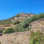
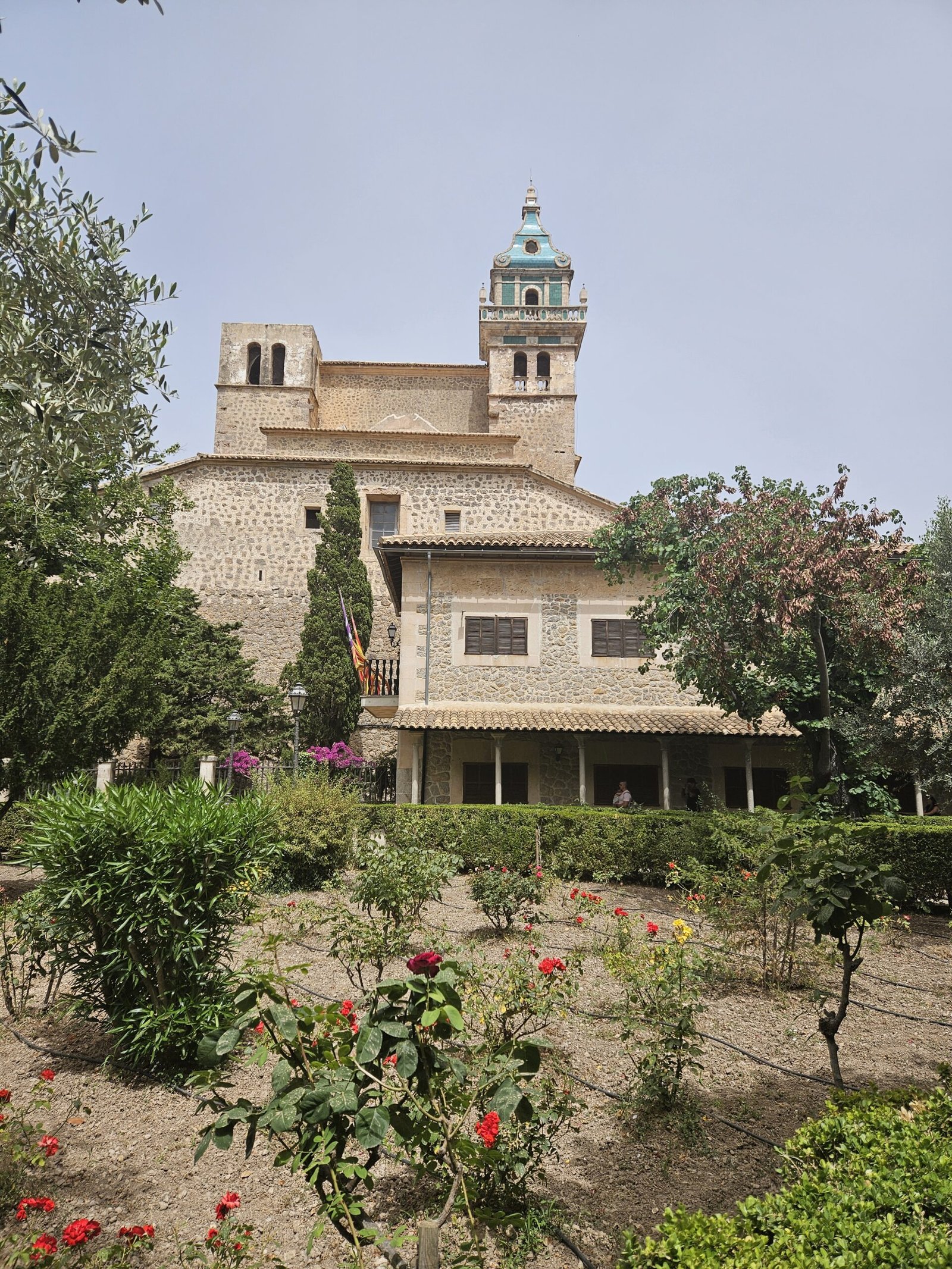
Valdemossa, One of the most picturesque cities in Mallorca
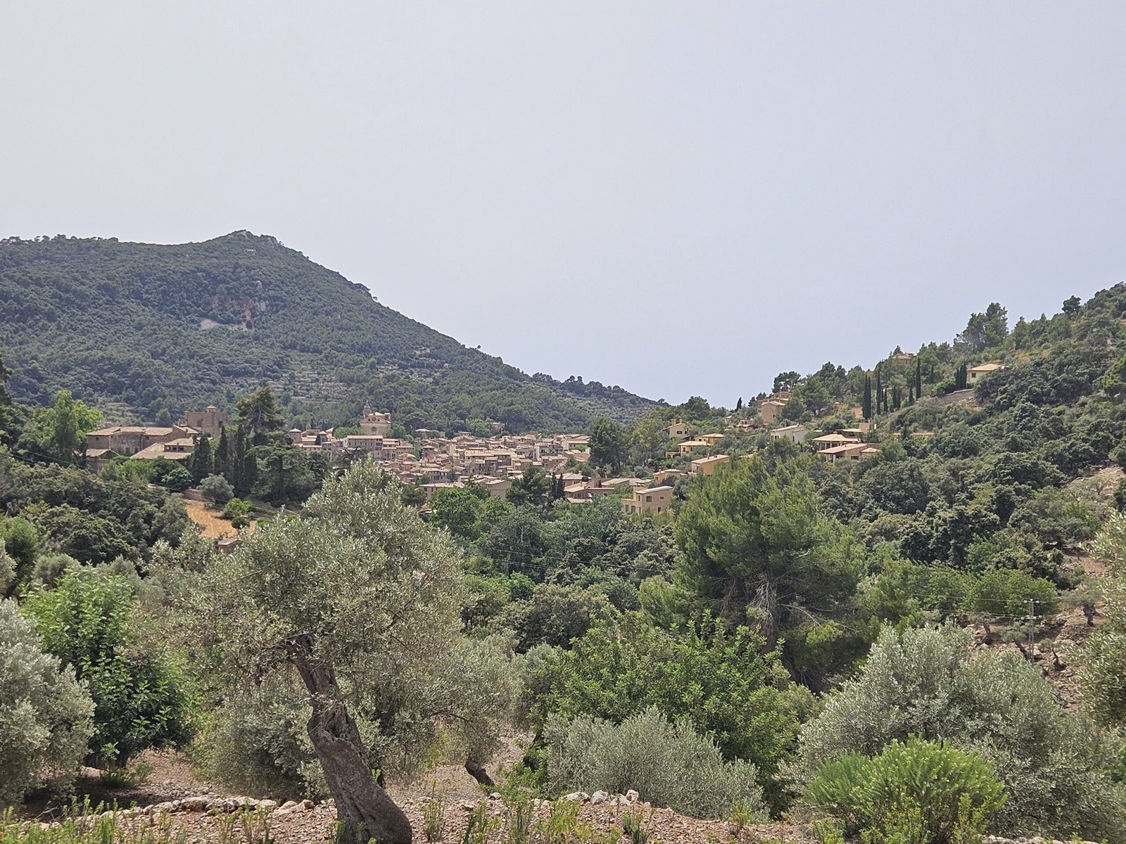
Returning to Valdemossa
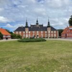
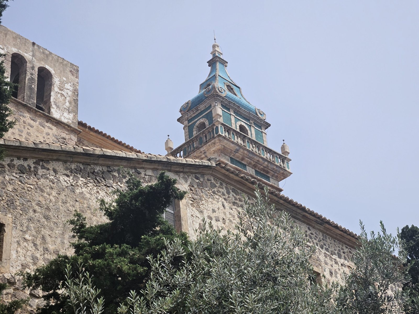
As we approached Valdemossa, the trail became flatter and easier. We reached the edge of the town and decided to explore its charming streets. We visited the Carthusian Monastery and wandered through the bustling town center, filled with tourists, cafes, and local shops. After refreshing ourselves with iced tea and coffee at a cozy square, we browsed souvenir shops before heading back to our car.
Wrapping up the day
We drove back to our hotel, where we enjoyed a relaxing dinner on the balcony. With no football match to watch, we spent a peaceful evening reflecting on the day’s adventures and the stunning landscapes, blending rugged mountain paths with breathtaking coastal views. As we concluded the day, we felt deeply connected to the island’s natural beauty and rich history, eager for the next day exploration.
Start
Valdemossa
End
Valdemossa
Duration
5 hours
Length
16 km
Difficulty
Intermediate


0 Comments
Trackbacks/Pingbacks